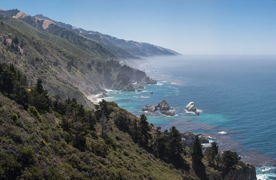
Big Sur is not a town but a stretch of coast between Carmel and San Simeon, where Highway 1 clings to cliffs above the ocean, crosses canyons on concrete arches and dips into redwood groves. There are almost no towns, little phone signal and no chain hotels — just one of the most beautiful drives on Earth.
Things to do in Big Sur
1Point Lobos State Natural Reserve
Just south of Carmel: cypress groves, coves of emerald water, sea otters and harbor seals. Arrive early; the lot is small.
Bixby Creek Bridge
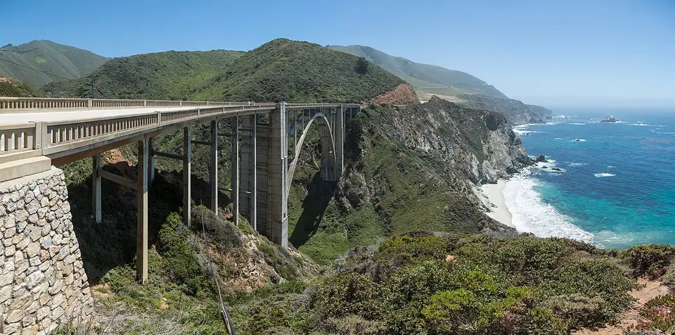
The 1932 concrete arch 260 feet above a canyon mouth, the symbol of Big Sur. Pull-outs on the north side give the classic view; never stop on the road.
3Pfeiffer Beach
Purple-streaked sand and Keyhole Arch, at the end of a narrow unsigned road (Sycamore Canyon Road). Small paid lot; no trailers or RVs.
McWay Falls
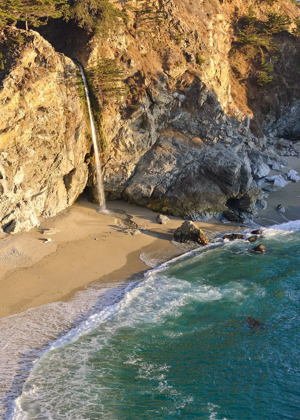
In Julia Pfeiffer Burns State Park, an 80-foot waterfall drops onto a beach in a turquoise cove. A short flat trail leads to the overlook.
5Pfeiffer Big Sur State Park
Redwood trails, a river and a waterfall in a sheltered valley: the place to stretch your legs.
6Elephant seals at Piedras Blancas
Past the southern end, thousands of elephant seals haul out on the beach, especially from December to March. Free viewing boardwalk.
Highway 1 closures: check before you drive
The cliffs of Big Sur are unstable. Winter storms trigger landslides that can close Highway 1 for weeks or many months. When a section is closed, you can usually still reach the northern half from Carmel and the southern half from Cambria, but not drive straight through — and the detour inland via Highway 101 adds hours.
Where to stay in Big Sur
Big Sur’s few lodges are expensive and book early; Carmel and Monterey to the north and Cambria to the south are the bases.
Our 2 hotel picks in Big Sur
Photos, facilities and tips →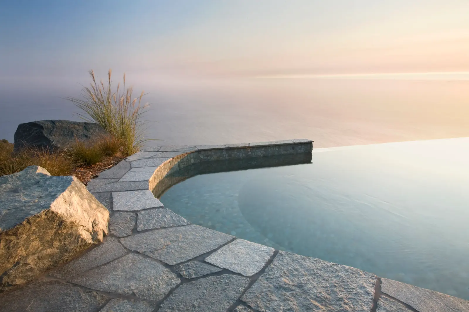 Luxury$$$$
Post Ranch Inn
Big Sur coast, 1,200 feet above the Pacific
Forty rooms and homes on a Big Sur cliff, with Sierra Mar, infinity pools and breakfast included.
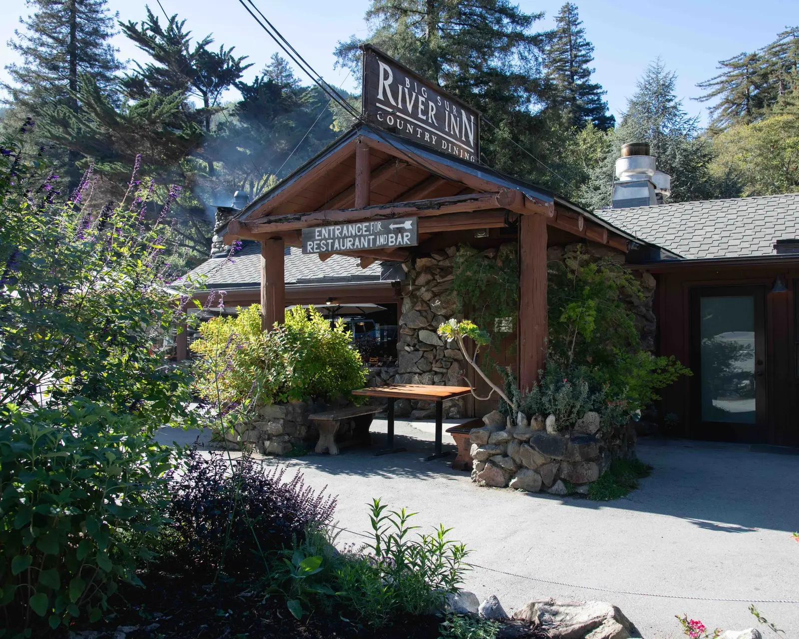 Mid-range$$$$
Big Sur River Inn
Big Sur Valley, on the Big Sur River
Big Sur's first resort (1934), with riverside suites, a heated pool and its famous chairs in the river.
Big Sur Valley
$$$$Best for: redwoods, cabins
Lodges and cabins in the redwoods around Pfeiffer Big Sur State Park, plus luxury cliffside resorts.
Hotels in Big Sur Valley partner linkCarmel-by-the-Sea
$$$$Best for: charm
A storybook village with a white-sand beach, 30 minutes north of Bixby Bridge.
Hotels in Carmel-by-the-Sea partner linkMonterey
$$$$Best for: value, the aquarium
Cannery Row and the Monterey Bay Aquarium.
Hotels in Monterey partner linkCambria
$$$$Best for: the southern end
A pine-forest town near Hearst Castle and the elephant seals.
Hotels in Cambria partner linkWeather in Big Sur by month
Compare every destination month by month in the when-to-go explorer.
Big Sur: your questions
Is Highway 1 through Big Sur open?
It depends: landslides close sections regularly. Check Caltrans QuickMap before you go.
How long does it take to drive Big Sur?
About 3 hours from Carmel to San Simeon without stops; plan a full day with stops, or two with a night in between.
North to south or south to north?
North to south keeps the ocean on your side of the road and the pull-outs easier to reach.
Written by Kylian Dev · Last reviewed October 21, 2026. Prices are in US dollars, before sales tax.